
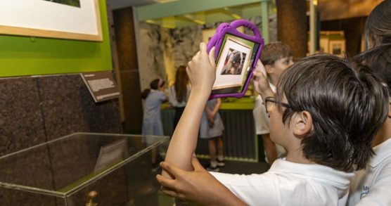
About Study Day: Secret Maps

This study day draws on the Library's collections to explore some of the key debates that led to the end of British colonial rule in 1947, when the Indian subcontinent was divided into two new nation states of India and Pakistan.
Students will have chance to investigate a rich collection of sources including maps, and oral histories from the Secret Maps exhibition and secret documents from the India Office Collections along with the recordings from our Voices of Partition resource.
Aimed at Key stage 4 and 5 students, this session will be of interest for studying GCSE History, Geography and migration-related themes.
Booking is essential via the 'Book Now' button. Please email schools@bl.uk if you have questions or need help with the form.
More information about our Schools programme is available on our Schools hub.
You might also like
Eco Explorers: Sustainability in Action!
Students will explore the Library’s rich collections whilst using creativity and collaboration to reflect on the meaning of sustainability.

Global Food Stories
Save the date to join Michael Rosen and friends.
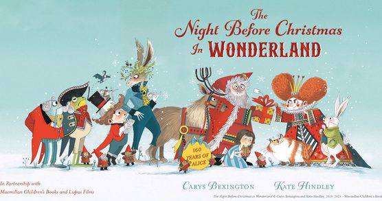
The Night Before Christmas in Wonderland
An opportunity to celebrate reading for pleasure with year 2 in a fun-filled festive school trip treat just in time for the Christmas holidays!