
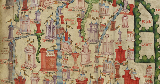
About The Lie of the Land: Who Controls the Map?

Technologist Ed Parsons, Dr Ollie Ballinger and Dr Pragya Agarwal join cultural geographer Mike Duggan in this panel conversation to explore how maps and cartography is being used to reveal what those in power would rather keep hidden. From exposing environmental injustice and geopolitical cover-ups to challenging propaganda and reclaiming erased histories, this conversation uncovers the radical potential of mapping. Together, they examine how cartographic tools, are being used to hold truth to power, uncover hidden inequalities, and challenge dominant narratives.
Your support
The British Library is a charity. Your support helps us open up a world of knowledge and inspiration for everyone. Please consider adding a donation to your basket.
Venue and bar opening times
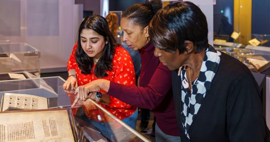
This is an in-person only event in the British Library Knowledge Centre.
The Knowledge Centre and bar open from 18.00.
Please arrive no later than 15 minutes before the start time of this event. If you have specific access requirements please email customer@bl.uk
Concessions
There are a range of concessions available. These include discounts for British Library Members, Young Persons (16–25s), and visitors on Universal/Pension Credit and free entry for carers.
Dr Ollie Ballinger
Ollie Ballinger is a geographer and data investigator who lectures in Geocomputation at University College London’s Centre for Advanced Spatial Analysis.
More
His work blends satellites, code, and unconventional datasets to uncover how power and conflict shape the world. After completing a PhD at Oxford on the drivers of insurgent recruitment in Turkey, he began developing open-source tools that turn images and radar data into evidence – from mapping bomb damage to tracing environmental destruction. As a Tech Fellow at Bellingcat, he wrote and built investigations that pushed the boundaries of open-source research.
Mike Duggan
Mike Duggan is a Lecturer in Digital Culture and Technology at King's College London.
More
He studies everyday digital mapping practices, counter-mapping and radical cartographies. Mike is a director of the Livingmaps Network – a network of researchers, community activists, artists and others with a common interest in the use of mapping for social change, public engagement, critical debate and creative forms of community campaigning. His latest books are All Mapped Out (2024) and New Directions in Radical Cartography (2021).
Pragya Agarwal
Pragya Agarwal is currently a visiting professor of social inequities and injustice at Loughborough University.
More
She is also a Royal Literary Fund Fellow at Newnham College, University of Cambridge. Her widely acclaimed non-fiction books include Sway, Hysterical and (M)otherhood, and she has written for publications including The Guardian, Scientific American and Times Literary Supplement. She has been awarded the Transmission Prize for 'making complex scientific ideas accessible' and the Crucible NESTA award for 'innovative inter-disciplinary work'. She was a 2023 Eccles Institute Visiting Fellow at the British Library.
Ed Parsons
Ed Parsons is a Digital Geographer and Geospatial Technology Advisor, known for his work at the intersection of geography, data, and innovation.
More
Formerly Google’s Geospatial Technologist, he led initiatives to apply geography to organising information, support open data for AI, and connect Google with governments, academia, and standards bodies. He chairs the Open Geospatial Consortium and serves as Visiting Professor at UCL. Previously, as Ordnance Survey’s first Chief Technology Officer, he helped shift its focus from mapping to geospatial information. Ed holds an honorary doctorate from Kingston University, and fellowships of the Royal Geographical Society and the Royal Institute of Navigation. In 2024, he received the RGS Professional Geography Award.
You might also like
Secret Maps: Curators’ Lunchtime Talk
Go Behind the Scenes with exhibition curator Tom Harper.
Spies, Maps, and Secret Missions: Deep Into Enemy Territory
A look into the covert world of spies and maps.
Speech-to-text and BSL Tour: Secret Maps
Join us as we take you on a speech-to-text and BSL interpreted tour of our latest exhibition Secret Maps.